Home
Satellite Interferometry Data Interpretation and Exploitation: Case Studies from the European Ground Motion Service (EGMS)
Barnes and Noble
Satellite Interferometry Data Interpretation and Exploitation: Case Studies from the European Ground Motion Service (EGMS)
Current price: $180.00

Barnes and Noble
Satellite Interferometry Data Interpretation and Exploitation: Case Studies from the European Ground Motion Service (EGMS)
Current price: $180.00
Size: Paperback
Loading Inventory...
*Product information may vary - to confirm product availability, pricing, shipping and return information please contact Barnes and Noble
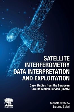
Satellite Interferometry Data Interpretation and Exploitation: Case Studies from the European Ground Motion Service (EGMS)
focuses on the interpretation and exploitation of data obtained from InSAR, thus enabling millimeter-scale deformation measurements from space. The most emblematic InSAR service, the European Ground Motion Service (EGMS), opens a wide range of new applications. However, for effective use of raw data, interpretation techniques and methods are required. This book presents interpretation protocols that can be applied to any InSAR data, as well as the most relevant technical aspects and boundaries of measurement points. Detailed case studies are reviewed to demonstrate points.
This book will be a valuable resource for remote sensing specialists, as well as non-specialists in geotechnics, geology and other geosciences who are looking to apply InSAR data techniques in their research.
